Topoplan

This module adds terrain modelling tools to the nanoCAD 26 Platform. It’s designed for surveyors and civil engineers who work with land and terrain data.

The main feature is the ability to create TINs – Triangulated Irregular Networks. A TIN is a surface model made of triangles that represents the shape of the ground. You build it from survey points, and the software connects them into a continuous surface.

From there, you can overlay maps and aerial photos, create contour lines and relief views, and calculate volumes (for example, how much earth needs to be moved for a construction project).

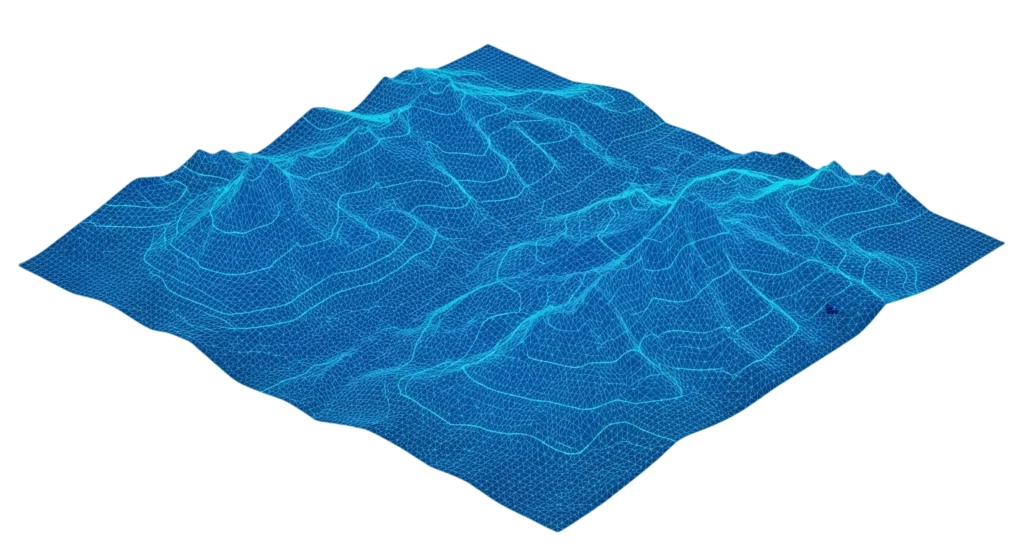
Topoplan capabilities

What you can do

Topoplan Pricing

Get the Topoplan Module

R 198

per year as a standalone module add-on

This module requires the nanoCAD 26 Platform. 30-day free trial is available with all modules included.

Topoplan Bundles

Also included in these bundles

Save by purchasing a bundle that includes this module with the nanoCAD 26 Platform.

nanoCAD Max

nanoCAD 26 Platform + All 5 Modules

Request a Quote

Request a quote for Topoplan

Full Name
nanoCAD is committed to protecting your privacy. We use your personal information only to manage your account and deliver the products, services and information you request. We may occasionally contact you about relevant products, services or related content. You can unsubscribe at any time. For details on how we handle your data and how to opt out, please review our Privacy Policy

Ready to try Topoplan?

Get a free 30-day trial with all modules included. Or contact SolidCAD for pricing.